Posizioni
torna suThe Mediterranean Ways (MedWays)
Mosè Ricci e Maura Mantelli

What geographical sign in history is greater and more significant than the Mediterranean? The Mediterranean can be imagined as a single habitat, in a physical sense, even if not referred to a traditional urban figure. Not a void full of water between three continents, but a settlement with an impressive central magnetic field. As a single inhabited landscape organized around its empty center. As it is already elsewhere on a different scale. Tokyo, for example, rotates like a vortex around the Imperial Gardens. Washington is designed along the edge of the Esplanade and Manhattan in New York around Central Park. Obviously, the spatial dimensions are different, however they are not the only things that matter. We can think of the Mediterranean as Plato wrote in the Fedone "we all are like frogs around a pond" ... The ability to attract social, tourist and residential flows, the intensity of internal relationships - both material and non-, the common identities of the populations that recognize in the landscape the main anthropological and cultural sign, the history legacies, but also the conflicts, the impetus of change and the long times of the social traditions, ..., all this generates an extraordinary cultural cohesion towards a single living environment that everyone consciously calls Mediterranean.
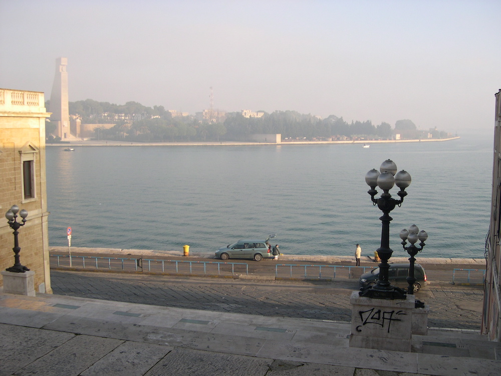
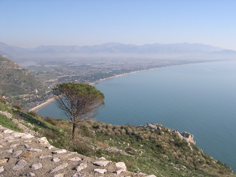
The landscapes of the European Mediterranean are extremely diverse in their natural and geographical characteristics and are rich in cultural heritage. However different in their appearance, the coastal domains of the Mediterranean face common challenges to their heritage both because of the effects of the great climate changes and because of the intense tourist pressures that lead to the loss of value of natural resources (destruction of ecosystems, pollution, increase in water requirements, urbanization of natural landscapes, abandonment of agricultural land and traditional land production) and to the marketing of local culture (identities that become stereotypes).
It is a universally recognized and extremely fragile habitat. In the northern Mediterranean coast, tourism reshapes identity and tends to freeze it, producing stereotypes that function as recognizable commercial products. The speed of change and urbanization caused by the high pressure of tourism development lead to homogeneity, blurring or even the cancellation of particular reference points, distinctive elements of local identity and the neutralization of the natural landscape or the countryside as an environment significant cultural. These are the transnational challenges for all the Mediterranean coastal domains that face the impacts of tourism surplus. Valuing the natural and cultural environment means recovering quality levels stratified over time and, in some cases, bringing it even to higher levels, if possible.
The Mediterranean Ways (MW) -routes but also in the multiple sense of this word methods, styles, conditions- is the title of a three-year research coordinated by the writer for the interdisciplinary Linceo Center of the Italian National Academy of Sciences (Accademia del Lincei) with Maura Mantelli, as a collective scientific enterprise involving an international cluster of scholars who develops in authorial form the narratives of the different MedWays.
This research intends to explore are slow, ecological and landscape infrastructures that tell the fragile territories and realize the identity of the Mediterranean and its social, natural and cultural heritage. They can become devices for the prevention of anthropic and environmental risk, for the protection of landscape values, for the development of sustainable tourism. MW are solid or not material paths between iconographic or literary narratives, popular traditions, sea, land and food cultures, spaces of beauty and happiness. They are resilience projects managed by local communities. MW are found in Italy as in France, Greece, Spain, Montenegro, Albania, Croatia, Slovenia. They belong to the south European tradition rather than the northern development models.
The concept of MedWays is at the same time similar and antinomic to that of the European Corridors. They are always infrastructures for social and economic development, but green and blue. They are land and sea routes that connect, environments, landscapes and cultures.
MedWays has the general objective of contributing, with the tools of interdisciplinary knowledge and project, to invert the effects of rapid and intense tourist development in the fragile Mediterranean coastal landscapes. MW intends to enhance a narrative, to promote and to protect the elements of local identity by identifying and describing a network of slow, ecological and accessible coastal infrastructures that can establish an acceptable integration between the blue Mediterranean culture and green strategies for sustainable tourism development.
The main and first specific objective of the research is to identify suitable criteria, selection categories and case studies to start the realization of an Open Atlas of places, practices and projects, organized in thematic sections, which can help to reveal, restore and promote elements of identity tarnished or erased by the most intense processes of tourist development.
The elements of identity that characterize the system can be both physical and intangible. Physicists are those associated with history, archaeological, historical, architectural, and ecological heritage, while intangible elements refer to traditions, customs, rituals, literary interpretations and social narratives. The Open Atlas, which the research project intends to launch, will be conceived as a tool by its nature selective, incomplete and potentially infinite, because it can be continuously increased starting from the identified criteria and categories.
The Open Atlas of the Mediterranean Routes intends to trigger the production of a shareable methodological tool for the identification of a transnational system of slow pedestrian and cycle infrastructures for the development of sustainable tourism in coastal areas that best represent social, cultural and landscape qualities and environmental conditions of the northern Mediterranean habitat. At the same time the Open Atlas of the Mediterranean Routes intends to explore the sustainability of programs and projects for the development of a green and blue infrastructure network by identifying and assessing sustainable development strategies and local adaptation and mitigation tactics of environmental risks (climate change) and anthropogenic risks (tourist-settlement pressure) transferable to different Mediterranean contexts.
The Atlas can be used both as a tool for the representation and interpretation of sedimented or ongoing processes in different settlement contexts, and as a basic material for building local choices based on a sort of strategic director program for quality and the sustainability of tourism development along the Mediterranean settlement system. As a premise to the proposed actions and pilot projects - to contextualize starting from the settlement, economic-social and infrastructural specificity of the territories assumed as study areas - aimed at triggering the regeneration processes of the ecological infrastructure network identified by the Atlas.
In summary this study, through the start of the compilation of the Open Atlas in both editorial and immaterial form, intends to address and develop interpretative models for some central questions - and still relatively little explored by the scientific disciplinary literature - of the relationship between a ecological infrastructure and the processes of reconfiguration and resilience of the landscapes and local Mediterranean environments.
The first year of the research resulted in the formation of a Cluster of 154 scholars and the proposal of 117 Medways.
 2
2  3
3 4
4 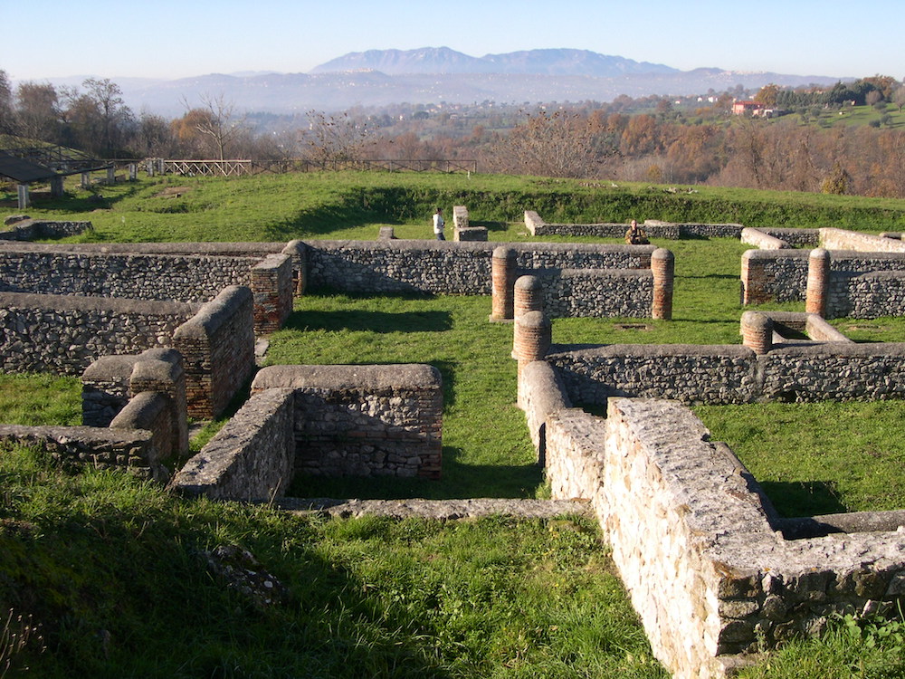 5
5  6
6  7
7  8
8 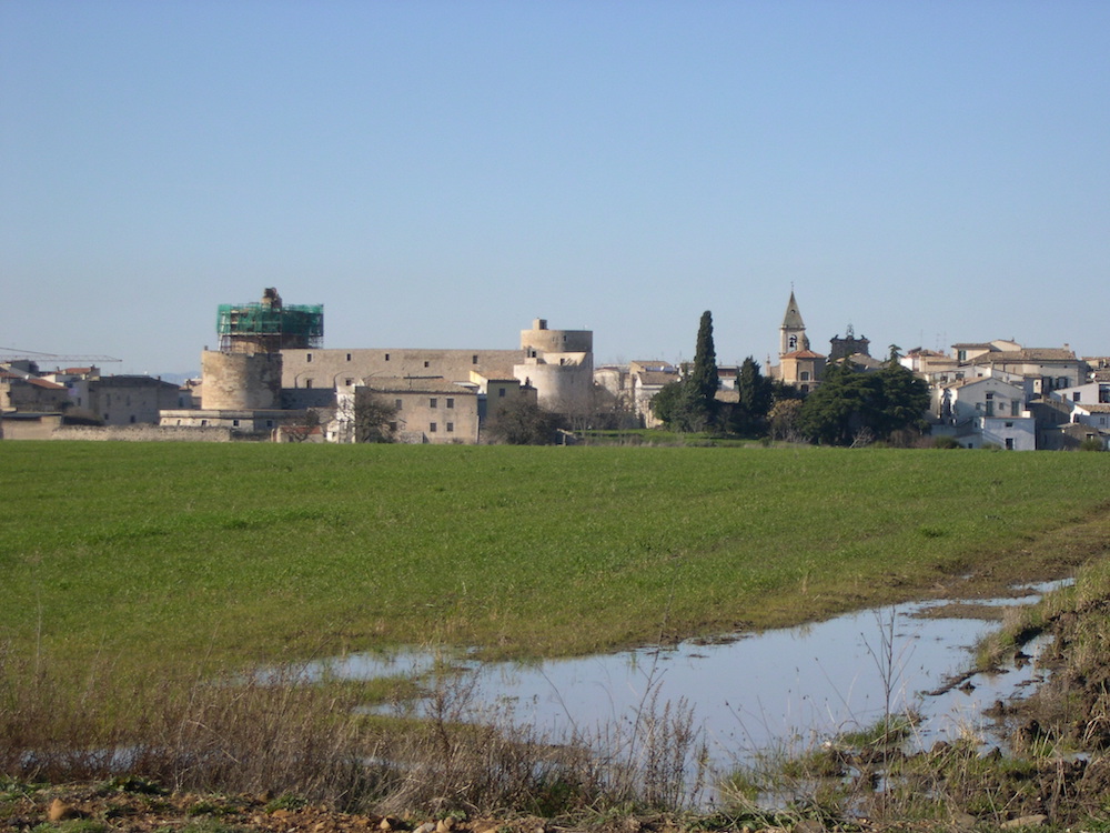 9
9  10
10